Mapping Guide with Cartographer
Cartographer
Core Concepts
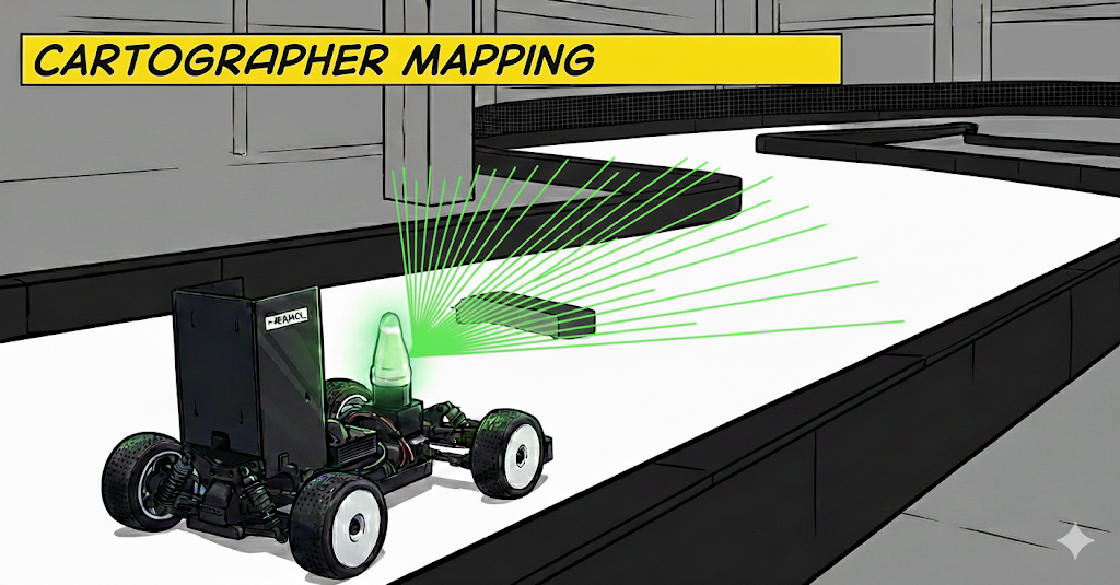
Cartographer is a real-time SLAM (Simultaneous Localization and Mapping) system developed by Google.
Key Features
| Feature | Description |
|---|---|
| Real-time | Online mapping, immediately usable |
| Loop Closure | Automatically recognizes same location → drift correction |
| Sensor Fusion | Integrates LiDAR + IMU + Odometry |
| 2D/3D Support | 2D (planar) and 3D (spatial) mapping |
| Submap-based | Efficiently manages large maps by dividing into small submaps |
Basic Operation Principle
1
2
3
4
5
6
7
8
9
10
11
12
13
14
15
16
17
18
19
20
21
22
23
24
25
26
27
28
29
30
┌─────────────────────────────────────────────────────┐
│ Sensor Data Input                                   │
├─────────────────────────────────────────────────────┤
│  📡 LiDAR Scan  +  🧭 IMU  +  🚗 Wheel Odometry     │
└─────────────────────┬───────────────────────────────┘
                      ↓
┌─────────────────────────────────────────────────────┐
│ Local SLAM (Real-time Tracking)                     │
├─────────────────────────────────────────────────────┤
│  - Pose Extrapolation (IMU + Odom prediction)       │
│  - Scan Matching (match current scan to submap)     │
│  - Submap creation and update                       │
│  → Fast tracking (10-40 Hz)                         │
└─────────────────────┬───────────────────────────────┘
                      ↓
┌─────────────────────────────────────────────────────┐
│ Global SLAM (Pose Graph Optimization)               │
├─────────────────────────────────────────────────────┤
│  - Loop Closure Detection (recognize same place)    │
│  - Constraint creation (relationships between submaps) │
│  - Pose Graph Optimization (global optimization)    │
│  → Drift correction, consistent map (periodic)      │
└─────────────────────┬───────────────────────────────┘
                      ↓
┌─────────────────────────────────────────────────────┐
│ Output                                              │
├─────────────────────────────────────────────────────┤
│  🗺️ Occupancy Grid Map (.png + .yaml)               │
│  💾 State (.pbstream - submaps, poses, etc.)        │
└─────────────────────────────────────────────────────┘
Understanding the Algorithm Based on Paper
The core algorithm of Cartographer is based on the following paper:
Real-Time Loop Closure in 2D LIDAR SLAM
Wolfgang Hess, Damon Kohler, Holger Rapp, and Daniel Andor
2016 IEEE International Conference on Robotics and Automation (ICRA)
Key Contributions
- Submap-based Representation
- Divide map into small submaps
- Each submap is created/optimized independently
- Memory efficient + fast matching
- Branch-and-Bound Scan Matching
- Multi-resolution grid pyramid
- Fast global search (wide search window)
- Robust to initial guess errors
- Pose Graph Optimization
- Sparse pose graph (nodes = trajectory poses, edges = constraints)
- Efficient optimization with Ceres Solver
- Drift correction with loop closure constraints
- Real-time Performance
- Local SLAM: Independent, fast (high frequency)
- Global SLAM: Asynchronous, slow (low frequency)
- Real-time performance through two-stage separation
Algorithm Summary (Pseudo Code)
Local SLAM:
1
2
3
4
5
6
7
8
9
10
11
12
13
14
15
16
17
18
def LocalSLAM(scan, imu, odom):
    # 1. Pose prediction
    predicted_pose = extrapolator.Predict(imu, odom)

    # 2. Scan matching (with current active submap)
    #    - Fast correlative scan matching (optional)
    #    - Ceres scan matching (continuous optimization)
    optimized_pose = ScanMatch(scan, active_submap, predicted_pose)

    # 3. Insert scan to submap
    active_submap.Insert(scan, optimized_pose)

    # 4. Pass to Global SLAM when submap is complete
    if active_submap.is_finished():
        GlobalSLAM.AddFinishedSubmap(active_submap)
        active_submap = CreateNewSubmap()

    return optimized_pose
Global SLAM:
1
2
3
4
5
6
7
8
9
10
11
12
13
14
15
16
17
18
19
def GlobalSLAM():
    # Run periodically (background thread)

    # 1. Loop closure detection
    for new_submap in finished_submaps:
        for old_submap in all_submaps:
            if SpatiallyClose(new_submap, old_submap):
                # Fast correlative scan matching
                match_result = MatchSubmaps(new_submap, old_submap)
                if match_result.score > threshold:
                    # Create constraint
                    AddConstraint(new_submap, old_submap, match_result)

    # 2. Pose graph optimization
    #    Calculate optimal poses satisfying all constraints
    optimized_poses = CeresOptimize(pose_graph, constraints)

    # 3. Update submaps and trajectories
    UpdateSubmapPoses(optimized_poses)
Pose Graph Optimization:
\[\mathbf{X}^* = \arg\min_\mathbf{X} \sum_{ij \in \mathcal{C}} \rho\left( \mathbf{e}_{ij}(\xi_i, \xi_j) \right)\]where:
- $\mathbf{X} = {\xi_1, \ldots, \xi_N}$: All poses
- $\mathcal{C}$: Constraints (intra-submap, inter-submap, loop closures)
- $\mathbf{e}_{ij}$: Residual (difference between measured and predicted values)
- $\rho$: Robust cost function (Huber loss)
Scan Matching Cost:
\[C(\xi) = \sum_{p_i \in \mathcal{P}} \left(1 - M(\xi \circ p_i)\right)^2 + w_t \|\Delta t\|^2 + w_r \|\Delta r\|^2\]where:
- $\xi$: Pose to optimize
- $\mathcal{P}$: Scan points
- $M$: Occupancy probability grid (bilinear interpolation)
- $w_t, w_r$: Regularization weights
Modified Cartographer
The UNICORN racing team modified Cartographer to optimize for high-speed driving environments and tracks.
Modification #1: Exclude Wheel Odometry from PGO
Background Problem
- High-speed Racing Environment:
- Frequent rapid acceleration/deceleration
- Wheel slip occurs (especially on low-friction surfaces)
- Wheel odometry accuracy varies significantly depending on traction
- Original Cartographer:
- Uses wheel odometry for two purposes:
- Pose extrapolation (velocity reference)
- Pose graph optimization (constraint)
- Uses wheel odometry for two purposes:
- Problem:
- When inaccurate wheel odometry enters PGO
- It actually worsens optimization results
- Localization drift increases
- When inaccurate wheel odometry enters PGO
Solution
Exclude wheel odometry from PGO, use only as velocity reference
1
2
3
4
5
// Modified: trajectory_builder.lua
options.use_odometry = false  // ← Excluded from PGO

// Still remap in launch file
<remap from="odom" to="/vesc/odom" />  // ← Used as velocity reference
Effect:
- Before (Original Cartographer):
- Wheel slip occurs
- Incorrect odometry constraint
- PGO optimizes in wrong direction
- Localization drift ⬆️
- Wheel slip occurs
- After (UNICORN Modified):
- Wheel slip occurs
- Odometry used only as velocity reference (extrapolation)
- PGO uses only LiDAR + IMU
- Robust optimization
- Map quality ⬆️
- Wheel slip occurs
Modification #2: Adaptive Wheel Odometry
In low-friction conditions (e.g., tire wear, marble floor, dust):
- Wheel slip ⬆️
- Wheel odometry ≠ Actual velocity
- Pose extrapolation inaccurate
- Scan matching initial guess worsens
Solution
For detailed information, see the Adaptive Wheel Odometry Guide.
Mapping Guide
Execution
Method 1: Full Mapping Pipeline
UNICORN’s mapping.launch performs mapping + raceline optimization together.
1
2
3
4
5
6
7
8
9
# Launch sensor and joystick nodes
roslaunch stack_master low_level.launch

roslaunch stack_master mapping.launch \
  map:=map_name \
  create_map:=True \
  create_global_path:=False

# When mapping is complete, press y and enter >> then exit with ctrl + C.
Method 2: Rosbag Playback (Offline Mapping)
1
2
3
4
5
6
7
# If rosbag was recorded beforehand:
rosbag play ~~~.bag --clock

roslaunch stack_master bag_mapping.launch \
  map:=map_name

# When mapping is complete, press y and enter >> then exit with ctrl + C.
Driving Strategy and Tips
Drive around the entire track at least 2 times.
Driving Tips:
- Try to drive along the track’s Centerline as much as possible.
- Be careful to avoid sudden steering.
- If significant drift occurs during mapping, try starting the mapping from a winding or complex area.
Summary
Cartographer is a real-time SLAM system developed by Google that performs efficient mapping with a 2-stage structure of Local SLAM and Global SLAM.
Key points summarized:
- Submap-based: Efficiently manages large maps by dividing into small submaps
- Loop Closure: Automatically recognizes the same location to correct drift
- Modified Cartographer: The UNICORN team improved map quality by excluding Wheel Odometry from PGO for high-speed driving environments
To create high-quality maps, it is important to drive around the entire track at least 2 times and drive stably along the Centerline.