Pure Localization Guide with Cartographer
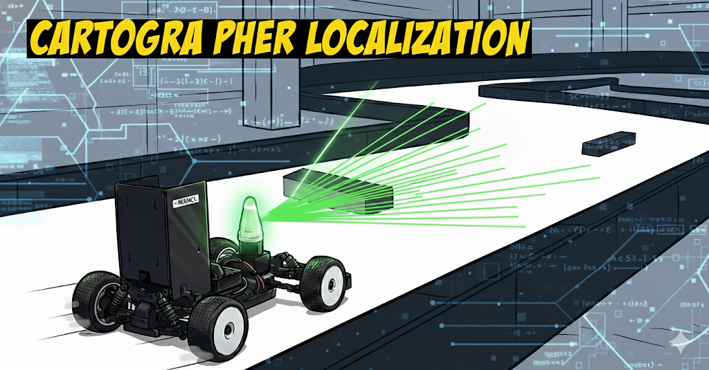
Cartographer Localization
Core Concepts
Cartographer Pure Localization is a mode that performs position estimation only based on a pre-built map (.pbstream) and does not create new maps.
Key Features
| Feature | Description |
|---|---|
| Map-based | Uses pre-built high-quality map |
| Real-time | High-frequency position estimation at 40Hz+ |
| Memory Efficient | Constant memory usage (max 3 submaps) |
| Stable | Consistent performance with optimized map |
| Initial Pose Required | Initial position setting is mandatory |
Basic Operation Principle
1
2
3
4
5
6
7
8
9
10
11
12
13
14
15
16
17
18
19
20
21
22
23
24
25
26
27
28
29
30
31
32
33
34
35
┌─────────────────────────────────────────────────────┐
│ Input: Prior Map (.pbstream)                        │
├─────────────────────────────────────────────────────┤
│  🗺️ Frozen Submaps (pre-built map, not modified)    │
└─────────────────────┬───────────────────────────────┘
                      ↓
┌─────────────────────────────────────────────────────┐
│ Sensor Data Input                                   │
├─────────────────────────────────────────────────────┤
│  📡 LiDAR Scan  +  🧭 IMU  +  🚗 Wheel Odometry     │
└─────────────────────┬───────────────────────────────┘
                      ↓
┌─────────────────────────────────────────────────────┐
│ Local SLAM (Real-time Tracking)                     │
├─────────────────────────────────────────────────────┤
│  - Pose Extrapolation (IMU + Odom prediction)       │
│  - Scan Matching (Local submaps only)               │
│  - Local Submap creation (max 3 kept) ← Trimmer     │
│  → Fast tracking (40+ Hz)                           │
└─────────────────────┬───────────────────────────────┘
                      ↓
┌─────────────────────────────────────────────────────┐
│ Global SLAM (Pose Graph Optimization)               │
├─────────────────────────────────────────────────────┤
│  - Constraint creation with Prior Map               │
│  - Pose Graph Optimization (global optimization)    │
│  → Drift correction (periodic, every 2 nodes)       │
└─────────────────────┬───────────────────────────────┘
                      ↓
┌───────────────────────────────────────────────────────────┐
│ Output                                                    │
├───────────────────────────────────────────────────────────┤
│  📍 /tracked_pose (PoseStamped)                           │
│  📊 /base_link_pose_with_cov (PoseWithCovarianceStamped)  │
└───────────────────────────────────────────────────────────┘
SLAM vs Pure Localization
| Characteristic | SLAM (Mapping) | Pure Localization |
|---|---|---|
| Map Creation | ✅ Creates new map | ❌ Uses existing map |
| Submap Addition | ✅ Continuously added | ❌ Max 3 kept (Trimmer) |
| Memory Usage | Increases (proportional to time) | Constant |
| Initial Position | Not required | Required |
| PGO Frequency | Every 20 nodes | Every 2 nodes (more frequent) |
Pure Localization Trimmer
1
2
3
4
5
6
7
Time flow →

[Prior Map Submaps: S0, S1, S2, ..., S_n] (Frozen)
                                            ↓
[Local SLAM Submaps: L0, L1, L2] ← Max 3 kept
                     ↑   ↑   ↑
                  Delete Keep Keep
Key Points:
- Prior map submaps are frozen and not subject to optimization
- Submaps generated by Local SLAM are maintained using a rolling window approach, keeping only the most recent 3
- Memory usage is kept constant
1
2
3
TRAJECTORY_BUILDER.pure_localization_trimmer = {
  max_submaps_to_keep = 3,  -- This is the key!
}
Modified Cartographer (Localization)
The UNICORN racing team modified Cartographer Localization to optimize for racing environments.
Modification #1: PoseWithCovarianceStamped Publisher
Background Problem
- Original Cartographer:
- Only publishes
/tracked_pose(PoseStamped) - No covariance information
- Downstream modules cannot determine position uncertainty
- Only publishes
- Racing Requirements:
- Planning & Control need to know position reliability
- High uncertainty → Conservative driving
- Low uncertainty → Aggressive driving
Solution
Publish PoseWithCovarianceStamped additionally.
node.cc:122-124:
1
2
3
published_pose_publisher_ =
    node_handle_.advertise<::geometry_msgs::PoseWithCovarianceStamped>(
        "base_link_pose_with_cov", kLatestOnlyPublisherQueueSize);
node.cc:329-341:
1
2
3
4
5
6
::geometry_msgs::PoseWithCovarianceStamped pose_cov_msg;
pose_cov_msg.header.frame_id = node_options_.map_frame;
pose_cov_msg.header.stamp = stamped_transform.header.stamp;
pose_cov_msg.pose.pose = ToGeometryMsgPose(tracking_to_map * (*trajectory_data.published_to_tracking));
pose_cov_msg.pose.covariance = 0.001;
published_pose_publisher_.publish(pose_cov_msg);
Covariance Matrix:
- Position (x, y, z): 0.001 m² (σ ≈ 3.2 cm)
- Orientation (roll, pitch, yaw): 0.0001 rad² (σ ≈ 0.01 rad ≈ 0.57°)
Benefits:
- Planning module can adjust strategy based on position reliability
- Enables sensor fusion with Kalman Filter
- Compatible with standard ROS Navigation Stack
Modification #2: Adaptive Wheel Odometry
Background Problem
In low-friction conditions (e.g., tire wear, marble floor, dust):
- Wheel slip ⬆️
- Wheel odometry ≠ Actual velocity
- Inaccurate pose extrapolation
- Degraded scan matching initial guess
- Result: Localization performance degradation
Solution
Adaptive Wheel Odometry: Real-time odometry correction based on LiDAR.
For detailed information, see Adaptive Wheel Odometry Guide.
Core Idea:
- Compare scan matching results with wheel odometry
- Dynamically adjust odometry scaling factor when slip is detected
- Improve pose extrapolation with corrected odometry
Benefits:
- Stable localization even in low-friction environments
- Faster scan matching convergence
- Overall improved tracking performance
Modification #3: Dynamic Initial Pose Setting
Background Problem
- Pure Localization Characteristics:
- Initial position setting is mandatory
- Wrong initial position → Localization failure
- Racing Scenarios:
- Vehicle may start from different positions
- Modifying launch file every time is inefficient
Solution
RViz-based dynamic Initial Pose setting was implemented.
set_pose_v2_node.py:
- Wait for RViz “2D Pose Estimate” tool
1
rospy.Subscriber('initialpose', PoseWithCovarianceStamped, self.update_initial_pose)
- Finish current Trajectory
1
rosservice call /finish_trajectory {trajectory_id}
- Start new Trajectory (with Initial Pose)
1
2
3
4
5
6
7
rosservice call /start_trajectory "{
 configuration_directory: ...,
 configuration_basename: 'localization.lua',
 use_initial_pose: true,
 initial_pose: {position: {x, y, z}, orientation: {x, y, z, w}},
 relative_to_trajectory_id: 0  # Prior map trajectory
}"
Usage:
- Launch Localization
- Click “2D Pose Estimate” in RViz
- Click on map at current position & drag (to set direction)
- New trajectory starts automatically
Benefits:
- Re-initialization possible at any time during runtime
- Quick recovery from localization failure
- Support for various starting positions
Localization-specific Tuning
localization.lua:
1
2
3
4
5
6
7
8
9
10
11
12
13
14
15
-- Frequent PGO (mapping: 20, localization: 2)
POSE_GRAPH.optimize_every_n_nodes = 2

-- Reduce rotation weight (rotation changes are not significant at high speed)
TRAJECTORY_BUILDER_2D.ceres_scan_matcher.rotation_weight = 0.1

-- Accumulate scans (reduce noise)
TRAJECTORY_BUILDER_2D.num_accumulated_range_data = 10

-- Loop closure range
POSE_GRAPH.constraint_builder.fast_correlative_scan_matcher.linear_search_window = 1.0  -- 1m
POSE_GRAPH.constraint_builder.fast_correlative_scan_matcher.angular_search_window = math.rad(20.)  -- 20°

-- Disable global localization (since initial pose is required)
POSE_GRAPH.global_sampling_ratio = 0.000
For detailed information on creating high-quality maps, refer to the Cartographer Mapping guide.
Localization Guide
Prerequisites
Requirements:
- Prior Map Preparation
- Location:
UNICORN/stack_master/maps/{map_name}/ - Files:
{map_name}.pbstream(Cartographer state){map_name}.png(visualization){map_name}.yaml(metadata)
- Location:
- Sensor Normal Operation
1
2
3
rostopic hz /scan        # LiDAR
rostopic hz /imu/data    # IMU
rostopic hz /vesc/odom   # Wheel odometry
- Map Quality Check
- Consistent map with good loop closures
- Map with minimal drift
Execution
Method 1: Run on Actual Vehicle
1
2
3
# Launch Localization
roslaunch stack_master base_system.launch \
  map:={map_name}
Method 2: Test with Bag File
1
2
3
4
5
# If rosbag was recorded beforehand:
rosbag play ~~~.bag --clock

roslaunch stack_master bag_localization.launch \
  map:={map_name}
Initial Pose Setting
Pure Localization requires initial position setting.
- Check RViz
- RViz launches automatically after launch
- Prior map is displayed
- Use “2D Pose Estimate”
- Click in the RViz top toolbar
- Click on the map at the vehicle’s actual current position
- Drag to set direction
- Verify Convergence
- Check if LiDAR scan aligns with the map
- Should match accurately within a few seconds
Summary
This article covered the core concepts of Cartographer Pure Localization and the modifications made by the UNICORN racing team for racing environments.
Key modifications summarized:
- PoseWithCovarianceStamped Publisher: Provides position uncertainty information
- Adaptive Wheel Odometry: Stable localization in low-friction environments
- Dynamic Initial Pose Setting: Runtime initial position setting via RViz
When using Pure Localization, you must prepare a high-quality Prior Map and set the initial position accurately. These two factors have the greatest impact on localization performance.